
News
Groundwater Atlas for pesticides
The recently published Groundwater Atlas for pesticides provides an overview of where and when pesticides have been found in groundwater. The results can be used to improve water quality in the Netherlands. The data will be used by the Board for the Authorisation of Plant Protection Products and Biocides (Ctgb) to monitor groundwater quality.
The Groundwater Atlas was developed between 2015 and 2016 and commissioned by the ministries of Economic Affairs and Infrastructure and the Environment. In 2016, the drinking water industry was also involved in the development of the atlas to coordinate the provision of data from the water companies. Wageningen Environmental Research (Alterra) and the Dutch National Institute for Public Health and the Environment (RIVM) are currently developing guidelines for the selection of monitoring sites and monitoring results using the data in the Groundwater Atlas and they are working on a proposal for integrating these guidelines in Ctgb decision making.
Data in the Groundwater Atlas
The Groundwater Atlas uses a list of active ingredients and metabolites of plant protection products and biocides. The identification of substances in the Groundwater Atlas follows the system used in the authorisation files. The Groundwater Atlas contains geo-referenced data, field observations made during sampling, and, of course, the groundwater monitoring results.
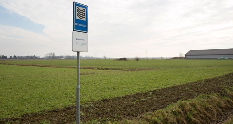
Sampled from thousands of sites
In the Netherlands, groundwater is sampled from thousands of sites and tested by the provinces and by water companies. This first version of the Groundwater Atlas contains a huge amount of data from water companies that use groundwater to produce drinking water. The remaining data is being assessed together with the source owners and will be included in following versions. The first version also includes part of the existing data from provincial groundwater quality monitoring networks.
Download the Groundwater Atlas
Go to the website to download and install the Groundwater Atlas. The Groundwater Atlas manual describes how the user can select a substance, set the period and depth of sampling and select monitoring networks. The monitoring results can be viewed in table, graph and map form. The user can also export the source data.