Colloquium
Image Recognition for Irrigation Management in Costa Rica
By Thedmer Postma
Abstract
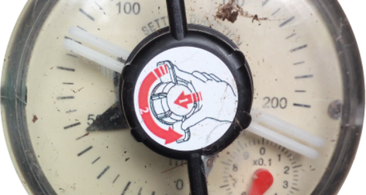
The Costa Rican national service for groundwater, irrigation and drainage (SENARA) is aiming to improve its irrigation management structure and processes. This research explored how Geographical Information Systems (GIS) in combination with Information and Communication Technologies (ICT) can be applied for creating a spatial database infrastructure based on an Android application for the accounting and analysis of water used for irrigation. A system was created for the automated reading and storing of water consumption values from water meters. An Android application was developed for taking and uploading photos of a water meter’s dial to a server for determining the indicated water consumption via image processing. Two water consumption values were read from the dial: the amount of water assigned to the user for irrigation indicated by a pointer and the user’s total consumption, indicated by a cumulative tally counter. Image segmentation was used for the detection and reading of the pointer value, achieving readings with a mean absolute error of 2m3 (1 percent relative to the scale). The tally counter was read via digit recognition based on Fourier descriptors achieving an accuracy of 76.6 percent. Additionally, a spatial database was set up for the storing of the water consumption data. The created system offers potential for the accounting of the water consumption of single users and performing regional analysis on water consumption.