News
Kirsten de Beurs appointed as Professor Remote Sensing
The Executive Board of Wageningen University & Research has appointed Prof. Kirsten de Beurs as Professor and Chair of the Remote Sensing group as of 1 September 2022. She succeeds Prof. Martin Herold.
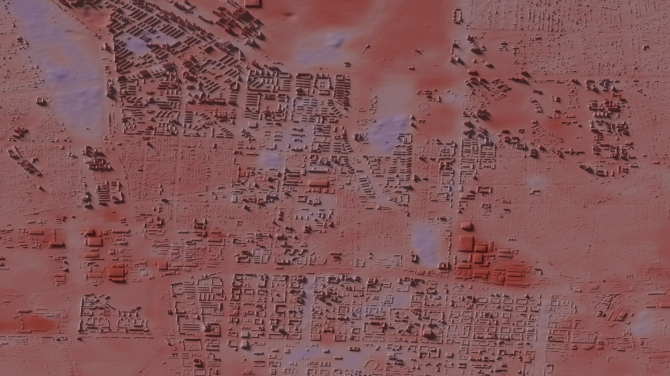
The Remote Sensing chair group focuses on earth observation from above. Satellite data or aerial photographs are used to understand and monitor land use and land cover changes. Time series of such images can for example show how cities expand, or where deforestation progresses and at what speed.
Prof. de Beurs has lived and worked in the United States of America for the last 20 years. She looks forward to using her expertise to build an integrated programme at the intersection of environment, sustainability, and remote sensing. De Beurs: “I am excited to return to Wageningen. The chair group is well-balanced, with expertise in all aspects of remote sensing. I mostly work with optical data; images comparable what you would see when looking down on earth from above. This is one of several strengths of the group, with others working with radar data, and so on.”
Finding answers to large-scale problems
Prof. de Beurs’ research is centred around the analysis of earth observation data related to terrestrial and freshwater ecosystems. De Beurs: “Multi-temporal series of satellite images can, for example, be used to follow the seasons. When does land cover become green, when does it turn yellow? Analysis over a longer time periods can give an idea whether drought happens incidentally in a certain area, or if drought patterns are changing significantly.”
Her experience includes building programmes and working at the intersection of remote sensing and environmental sustainability. Finding answers to large-scale problems such as climate change, biodiversity loss, and emerging infectious diseases requires a systems-thinking approach. But it also requires large amounts of geospatial data, and clever geospatial innovation. Large-scale datasets are increasingly important within environmental research, especially to scale from field measurements to global ecosystems.

Career in the USA
During her Master of Science in Agricultural System Science at Wageningen University, Prof. de Beurs became interested in studying land cover and land use change using satellite images. After graduating she moved to the United States to further her interest in Remote Sensing, and to pursue a PhD in Natural Resource Sciences at the University of Nebraska.
She then climbed the academic ranks to full Professor, and in 2015 became the first female and second youngest Chair of the Department of Geography and Environmental Sustainability at the University of Oklahoma. Prof. de Beurs worked diligently to encourage greater research output and a larger grant portfolio in her department. As a result of improved faculty mentoring and smart faculty recruitment, the amount of external research funding in the department nearly doubled during her tenure as chair.