
Colloquium
Developing a Reliable Method for Biomass Estimation of Fodder Maize through Optical and LiDAR UAV Observation
By Arthur Slagt
Abstract
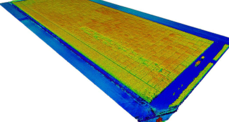
Throughout history mankind has always strived to improve its food security. In the last century the process of crop improvement was ushered into a new age through innovations at scales unseen by mankind before. Nowadays seed companies develop a large number of seeds which will perform well on paper, yet it is unknown how well they will perform in reality. Unless being tested and their phenotypes being gathered in the field. The largest issue that seed companies face nowadays is the large number of these experimental varieties and the lack of a high throughput methodology that can accurately and quickly derive desired phenotypes. Such a method could save phenotyping experts much time, due to not having to manually having to record phenotypes. One of the possible sensors that is now entering the market is LiDAR. LiDAR being Laser imaging detection and Ranging; an active laser sensor that records the distance between its location and the reflection of many points with high accuracies. Normally thought of as a land bound sensor, recent developments have enabled a miniaturised, lightweight version to be attached to a UAV and take it to the skies. This increased the speed of recording immensely due to the terrestrial sensor having to be carried after each recording. This speed does increase worries of inaccuracies, and due to it being state-of-the-art, it is far more expensive compared to other more sensors that have been around longer. For this research such a methodology of high throughput was developed using airborne LiDAR data and was compared to the performed to RGB and multispectral data. In this research it was shown that LiDAR height, biomass, and ear height estimation outperformed the cheaper, RGB and multispectral correlational approach. There were some models that out-performed well using multispectral data, however this would be a single model compared to ten models performing better using LiDAR approaches. This research was compared to the research of van der Voort (2016) and Stöger (2018). It found improved results for both researches. For the van der Voort (2016) comparison was harder due to the sample size being nearly 50 times smaller. Stöger (2018) attempted to predict ear height from LiDAR crop height estimates and concluded low R2 values to reference ear height values, while this research reached 0.58. This research believes it has successfully developed a reproducible and reliable method for high throughput scenarios. For this methodology to be improved, an investigation into the effect of ground points and flight paths is recommended.
Keywords: LiDAR UAV; Multispectral UAV; Phenotyping; Remote Sensing; Biomass estimation; Ear height estimation; Single-variate analysis; Multi-variate analysis; Point distribution analysis