
Thesis subject
MSc thesis topic: Prioritizing research challenges for satellite-date related forest monitoring
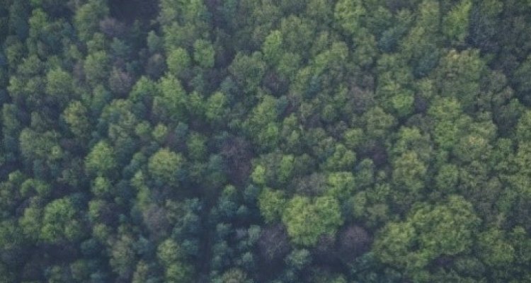
Capacities for forest monitoring are increasing, however monitoring tropical forests in order to fulfil the monitoring requirements of international policies such as REDD+ remains difficult.
A number of challenges have been identified such as monitoring forest regrowth, integrating satellite data from different sensors (Landsat & Sentinel for example), and monitoring specific forest types such as dry forests and woodland areas. A workshop planned for April 2021 will bring researchers together to identify their priority research topics.
Donors need to identify what the most pressing challenges are, and therefore a systematic approach might be used to prioritize research challenges.
Criteria might include User / Policy needs, existing donor commitments, availability of existing research, new satellite data streams, and availability of operational data, methods and tools. A spatial element looking at forest types, priority areas for action (related to forest loss etc.) or other variables might be integrated.
Relevance
This links to the https://www.reddcopernicus.info/ project. WU is responsible for identifying research challenges for tropical forest monitoring in this project.
Objectives
- Identify research gaps, based on project documentation, and the workshop
- Identify relevant criteria which might be used to prioritize research priorities
- Devise a systematic approach to prioritize research gaps
- Propose a priority list of research tasks, which are actionable by donors
Literature
- An overview of forest monitoring procedures including methods which use satellite data: http://www.gofcgold.wur.nl/redd/sourcebook/GOFC-GOLD_Sourcebook.pdf
- Other relevant project documents will be supplied
- Carter et al., Research And Development Needs For REDD+ And Forest Monitoring, Igarss 2021, Accepted.
Requirements
- GIS software knowledge (no specific courses are required)
Theme(s): Sensing & measuring; Integrated Land Monitoring