News
Old maps available in Image Collections
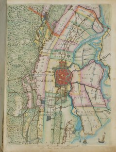
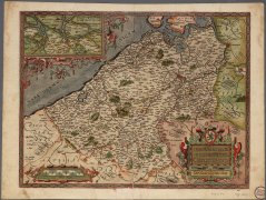
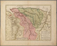
A beautiful collection of 580 old and mostly hand-coloured topographical maps has been added to the database Image Collections of Wageningen University & Research.
The oldest maps date from c.1570 and the youngest from c.1860. The collection focuses on the Netherlands and contains interesting polder maps of Dutch Water Boards, including the beautiful atlas of Florisz. Balthasars.
Maps dating from after 1850 have not yet been digitized. These include a large collection of modern topographical maps (1850-now, scales 1:25,000 and 1:50,000) and a thematic map series on hydrology, geology, geomorphology, and soil maps. All the maps can be studied in the Reading Room of the Library’s Special Collections.
Some examples from the old maps collection:


