
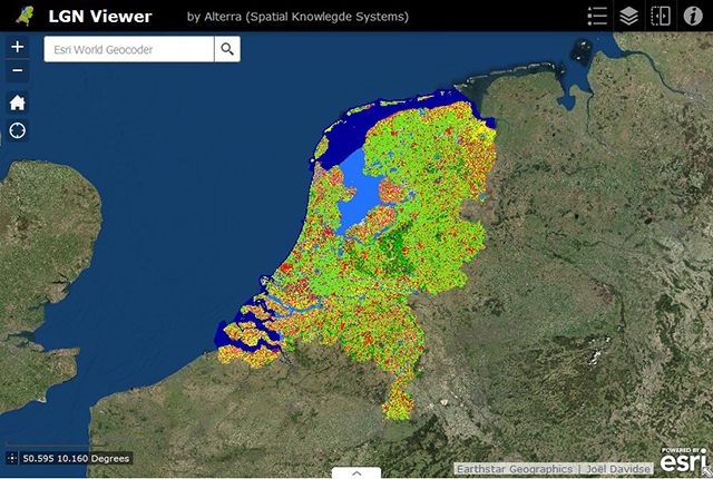
The Land Use Database of the Netherlands (LGN database)
The Land Use Database of the Netherlands (LGN database) maps the entire country and is based on satellite imagery and additional data. Since 1986, it has been produced every 3 to 5 years. From 2018 onwards, it is being produced annually with a spatial resolution of 5m, mapping 48 different land uses/covers.
What is the LGN database?
LGN is a raster database with a resolution of 25 meter. From LGN2018 onwards, the spatial resolution has been refined to 5m. The LGN database has been produced by Wageningen Environmental Research since the late 1980s and meets the demand for up-to-date and accurate data on land use in the Netherlands. It also provides opportunities to track changes in land cover and land use over time.

Different Versions of Databases

Publications
In the lists below you will find reports on the various LGN versions in Dutch and English. Also some articles which have appeared in (inter)national journals on various LGN versions. Furthermore, some presentations on LGN and / or use of LGN.
