
Project
A digital inspiration map for greening neighbourhoods of Amsterdam
This study shows how participatory GIS can aid in decision making around urban greening. In Amsterdam, this helped promoting a dialogue between stakeholders, linking spatial data with practical experiences and aligning local priorities with policy programmes.
A snapshot of the project
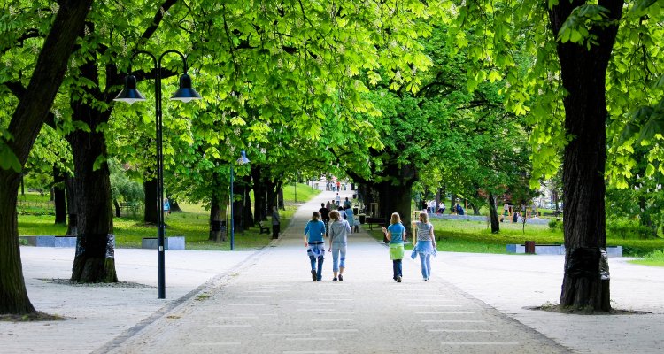
Prior research has shown that the greening of neighbourhoods has a relatively high economic and societal value for the city of Amsterdam. Especially the development of small pocket parks or public gardens has many values for the city. It is known that such small green spaces offer many benefits that far outweigh the costs. Urban green plays an important role in reducing the impacts of extreme weather events and for urban biodiversity. It also contributes to the health and wellbeing of citizens, often functions as a space for people to meet and can play a role in food production. Therefore, the aim of this citizen science project is to provide insight into the opportunities for small-scale urban greening in Amsterdam and to help diverse local stakeholders in their efforts for greening the city. For this purpose, an inspiration map and a list of potential locations for greening were developed.
In this project, working together with local stakeholders from Amsterdam, an inspiration map has been developed for greening the city with pocket parks or public gardens. In a series of joint workshops, criteria and preconditions for greening Amsterdam have been identified and translated into a number of indicators. Using the spatial-economic model ‘Global Detector’, this has then been translated into a procedure which calculates what potential locations have a high or low score for each indicator. With this, a search has been conducted for promising locations where small-scale greening with a public garden or pocket park can have an important impact. Local stakeholders visited these sites to assess on-site whether these locations were actually suited for greening.
The results of the project
On basis of available spatial information, maps of Amsterdam have been made to search for good locations in public space where green is of value for climate adaptation, for nature, for social wellbeing and for health. These maps have been integrated into an inspiration map which shows in which spaces in Amsterdam greening can have a large impact. Following this, the maps have been combined with data on the spatial functions of places in Amsterdam in order to identify a number of specific locations where a public garden or pocket park can be realized. Important to note is that this study is based on a combination of spatial data and judgment with the naked eye by local experts. This offers an important point of departure, but for actual greening it is important to look beyond the analysis in this study: there are many more points that should be taken into account.
After completion of the project local stakeholders used the results of this project in their efforts for small-scale greening in Amsterdam. Groen Platform Amsterdam engaged in a further scrutiny of the most suitable locations for greening and narrowed this down to a ‘top 40’. Buurtgroen020 published a list of these 40 locations on their platform and De Gezonde Stad sent out an open invitation to local residents for contacting them if they wanted to be involved in greening specific locations. The municipality of Amsterdam is currently working on a map with 100 locations for new green projects. For this purpose, they used this research project as input and adopted several ‘top 40’ locations – although other types of green spaces and locations not prioritized through the project's indicators were also included. For a few specific locations, a session with representatives of the municipality and local stakeholders has been organized to assess the potential for greening and also the type of greening that could best fit these locations.