
Colloquium
Application of Structure from Motion and a handheld lidar system to monitor erosion at outcrops; Limit of detection determination of rock surface changes
Abstract
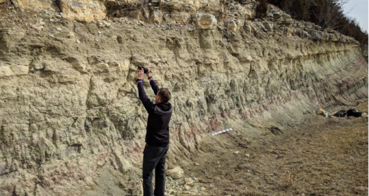
Structure from Motion (SfM) and light detection and ranging (lidar) are widely used techniques to collect topographic data. Both techniques are perfectly suited to use at remote and hard to reach mountainous areas. A challenging factor is to determine the outdoor precision of this topographic data. In addition, there is a lack of knowledge about the e_ect of the sampling strategy on the quality of the data. This study covers, (1) the effect of number of photos on the precision of a DSM; (2) the capability of SfM and a hand-held lidar scanner to create consistent point clouds of an unchanged area; (3) the cell speci_c limit of detection (LoD) of surface changes without the need of GPS measured GCPs. The LoD takes deviations among point clouds introduced by different camera positions, alignment in the preand post erosion set of digital surface models (DSMs) and rasterizing into account. Differences in rasters decrease from a range of 3 cm to 0.8 cm when the photo density was increased from 3 to 18 photos m². The hand-held lidar system ZEB1 produced point clouds of an insuffcient point density and quality to determine erosion rates. A photo density of 8 photos m². was used to create 6 unique DSMs, 90% of the dfferences between these 6 DSMs and mean DSM are within -3 and 3 mm, which shows that SfM is capable of generating consistent point clouds. Only surface changes larger than the LoD can reliably be detected. The mean LoD of a 2 m2 DSM is 5 mm and increased to a mean LoD of 1.7 cm for a 120 m². area. This increase in LoD is mainly caused by non-linear longitudinal deformation of the point clouds along the x-axis. An afterwards correction for this deformation resulted in a mean LoD of 8.3 mm. Human induced surface changes were detected, together with regions of small false detected changes. The alignment deviation between pre- and post erosion set of DSMs is not taken into account by calculating the LoD and is likely the cause of these false positives. Future work could be done on increasing this precision of the alignment among DSM sets, determine optimal raster cell sizes and evaluate the suggested sampling strategy to prevent longitudinal deformation.
keywords: lidar; ZEB1; photogrammetry; structure from motion; point cloud analysis; erosion monitoring.