
Student information
MSc thesis topic: Alternative method to derive CLC2024
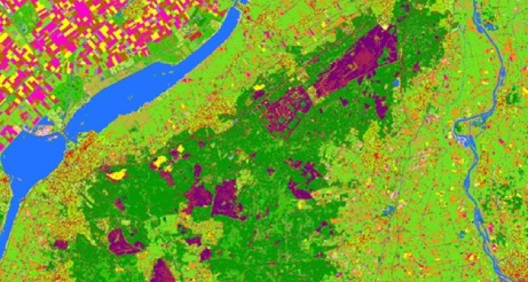
The upcoming year the European Environmental Agency (EEA) is requesting WENR to update the CLC2018 dataset for the Netherlands. The update with reference year 2024 is based on the principle of mapping the land cover changes first and derive on basis of the changes and the previous CLC version the updated CLC version (i.e. CLCchanges 2018 – 2014 + CLC2018 = CLC2024). In previous update cycles the update was done on basis of visual interpretation of satellite imagery and independent from national existing land cover/land use databases like LGN. For a better harmonisation between CLC and LGN it would be good to derive CLC from LGN in the near future.
LGN (Landelijk Grondgebruik Nederland) is the national land cover and land use database of the Netherlands which is yearly updated. CLC (CORINE Land Cover) is the European land cover dataset which is updated every 6 years. WENR is responsible for the production of LGN and contracted for the Dutch part of the European CLC dataset. Next to the different update cycles both datasets have different thematic and spatial detail. CLC is a vector database with 44 thematic classes, MMW is 100m, MMU for status layer is 25ha and for changes 5ha. LGN is a raster database with a resolution of 5*5m and 51 thematic classes.
Objectives and Research questions
Is it possible to derive CLC from LGN?
- Develop a methodology to derive CLC from LGN (and eventual additional data) given the thematic and spatial specifications of CLC
- Review of advantages/disadvantages by comparing traditional CLC with CLC derived from LGN
Is it possible to monitor/derive CLC changes on basis of CLC versions derived from LGN?
Develop a methodology to create change database making monitoring possible given CLC spatial specifications for changes
- between newly derived CLC versions,
- between previous traditional CLC status layer and newly derived status layer based on LGN
- Review limitations and possibilities regarding monitoring real and technical changes
Requirements
- Knowledge/familiar with Dutch/European land monitoring
- Change detection (real/technical changes)
- GIS knowledge (QGIS/ArcGIS Pro)
Literature and information
Expected reading list before starting the thesis research
- https://land.copernicus.eu/en/technical-library/manual-of-corine-land-cover-changes/@@download/file
- https://land.copernicus.eu/en/technical-library/clc-illustrated-nomenclature-guidelines/@@download/file
- https://lgn.nl/reports/WENR-rapport%203235_Totaal_LR.pdf
Theme(s): Sensing & measuring, Integrated Land Monitoring