
Colloquium
Combining different remote sensing sources for vessel detection in the Mekong River
Abstract
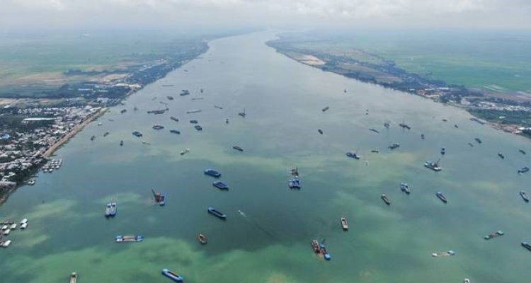
Sand mining presents an increasingly urgent challenge in deltaic areas, particularly in the Mekong Delta, contributing to ecological degradation and socio-economic challenges. This study explored the use of various remote sensing sources and techniques to monitor riverine sand mining activities in Vietnam, consisting of an object detection model for optical PlanetScope data and an image thresholding technique for Sentinel-1 SAR data. A spatio-temporal analysis was conducted to compare the effectiveness of these two techniques in detecting sand mining activity in Vietnam. High accuracies were achieved by the optical detection model (F1-score of 75.8% at IoU:0.5), and both methods showed comparable spatial patterns and similar numbers of individual vessels detected per day. To evaluate the effectiveness of detecting sand mining vessels using the two different remote sensing techniques, the optical and radar detections were compared to ground truth UAV data. In known sand mining hotspots in Vietnam, the optical detection model demonstrated high resemblance to ground truth data, accurately identifying individual sand mining vessels. Contrary, the radar data demonstrated more inconsistent and inaccurate results, showing spatial and statistical discrepancies between the two study areas compared to UAV data. The SAR threshold method proved valuable for identifying broader spatial patterns but less effective for accurately detecting individual vessels. Furthermore, the study explored the transferability of the optical detection model to the Mekong River near Phnom Penh, Cambodia, equally susceptible to sand mining. Four different methods were investigated. Despite differences in performance scores, comparable spatial patterns were observed, aligning with existing literature. When fine-tuning the initial model with new training data, the study achieved the highest performance scores (F1-score of 84.3% at IoU:0.5), demonstrating an optimal balance between false positives and false negatives. Accurately transferring the optical detection model to other study areas was therefore deemed achievable, provided there is access to high-quality training data.
Keywords: Sand mining, Mekong Delta, remote sensing, PlanetScope, Sentinel-1 SAR, object detection, image thresholding