
Colloquium
Mapping intertidal area changes in the active delta of Bangladesh between 2014-2021
Abstract
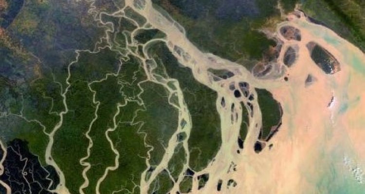
Intertidal areas are the parts of the land that are submerged under high tide and dry at low tide. They are important for biodiversity, fishing, and keeping the coast safe. Bangladesh is home to almost 175 million people of which many depend on intertidal areas for food or living. However, the intertidal areas in Bangladesh are very variable as the delta is active and rapidly changing. Intertidal area mapping has, to this day, mainly been done using optical images which is commonly hindered by cloud cover. For this thesis, Sentinel-1 data was used to map intertidal areas. This was done by selecting a high and a low tide image based on local water gauge data. Both images were classified to land and water to identify the areas that were intertidal. Using these methods, this thesis shows that with some improvements, Sentinel-1 data can be used for intertidal area mapping. Random forest classification of land and water areas was shown to have an accuracy of 94%. However, the training dataset was not fully representative, which led to misclassification in turbid water. Furthermore, water level data helped to select the images with the highest and lowest tide to delineate the intertidal areas. Unfortunately, images covered on average only 40% of the full tidal range per month. Considering the accuracy of the intertidal area mapping, a clear conclusion of the changes could not be drawn. For change monitoring, further research is required to improve this accuracy, for which several opportunities were identified. Training data needs to be more representative of the study area in all seasons. Additionally, more data is required to capture more of the tidal range. Furthermore, a DEM must be estimated to quantify the changes in the delta.